2024
Faculty
Kristine Stiphany (studio lead)
Jason Sowell (seminar lead)
Research Assistants
Jorge Ituarte Arreola
Andrew Castilleja
Sponsor
Envision Resilience Challenge / Remain Nantucket

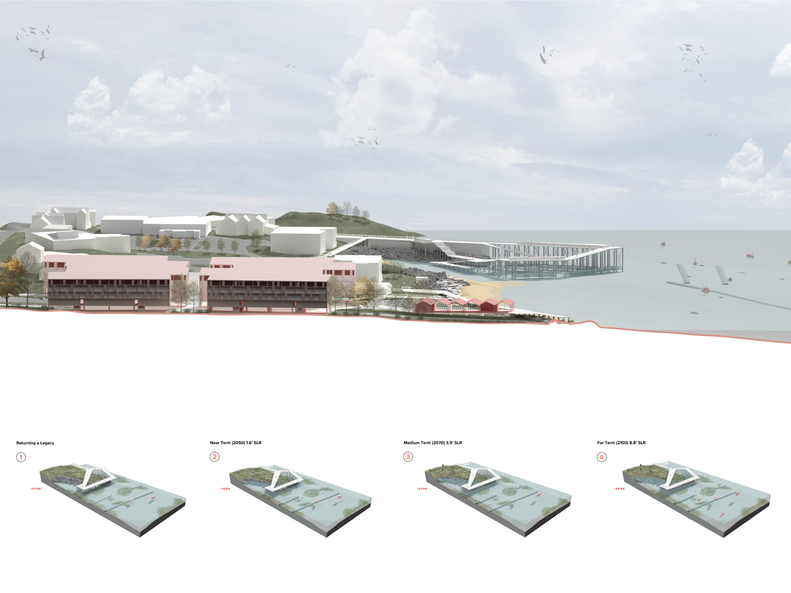
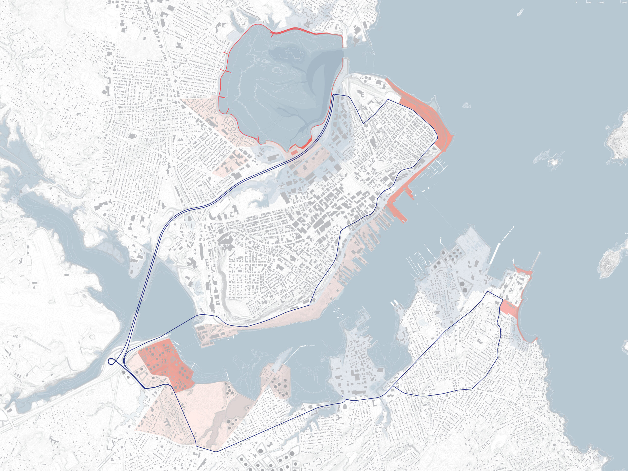
Using scenario planning, GIS analysis, and stakeholder engagement, the studio developed the Casco Bay Shoreline Trail Plan—a vision for a resilient network of parks, trails, and adaptive reuse strategies across seven at-risk coastal sites in Portland and South Portland. Each location integrates nature-based solutions, climate-responsive architecture, and publicly accessible waterfront spaces, uniting the two cities around the transformation of their shared shoreline.

Cascading Scales of Design for a Resilient Casco Bay
With the goal of building a more resilient future, the studio focused on cross-city solutions that connect downtown Portland and South Portland. Remediating their shared coastline depends on advancing three critical goals: ensuring water security, mitigating flood risk, and promoting environmental equity—particularly for communities disproportionately affected by climate change. Achieving these goals across multiple, distributed sites is essential to scaling regeneration efforts toward a climate-resilient Casco Bay eco-region.
Design Across Six Scales
To address the complexity of coastal resilience, the studio operated across six cascading scales:
-
Global Precedents — Studying international examples of working waterfront transformation to inform local strategy.
-
GIS Analysis — Mapping sea level rise and storm impacts across Maine’s Down East coast, with a focus on Casco Bay.
-
Critical Mapping — Revealing underlying systems of power, social inequality, and environmental injustice that shape local vulnerabilities and opportunities.
-
Stakeholder Engagement — Integrating insights from community members, experts, and local partners via the Envision Resilience network.
-
Site-Specific Design — Proposing adaptive reuse, public space, and nature-based strategies for sites across Portland, South Portland, and adjacent islands.
-
Impact Visualization — Demonstrating the potential ecological and social benefits of design interventions to support decision-making and policy change.
